Boost Your Drone Footage
With Easy Analytics
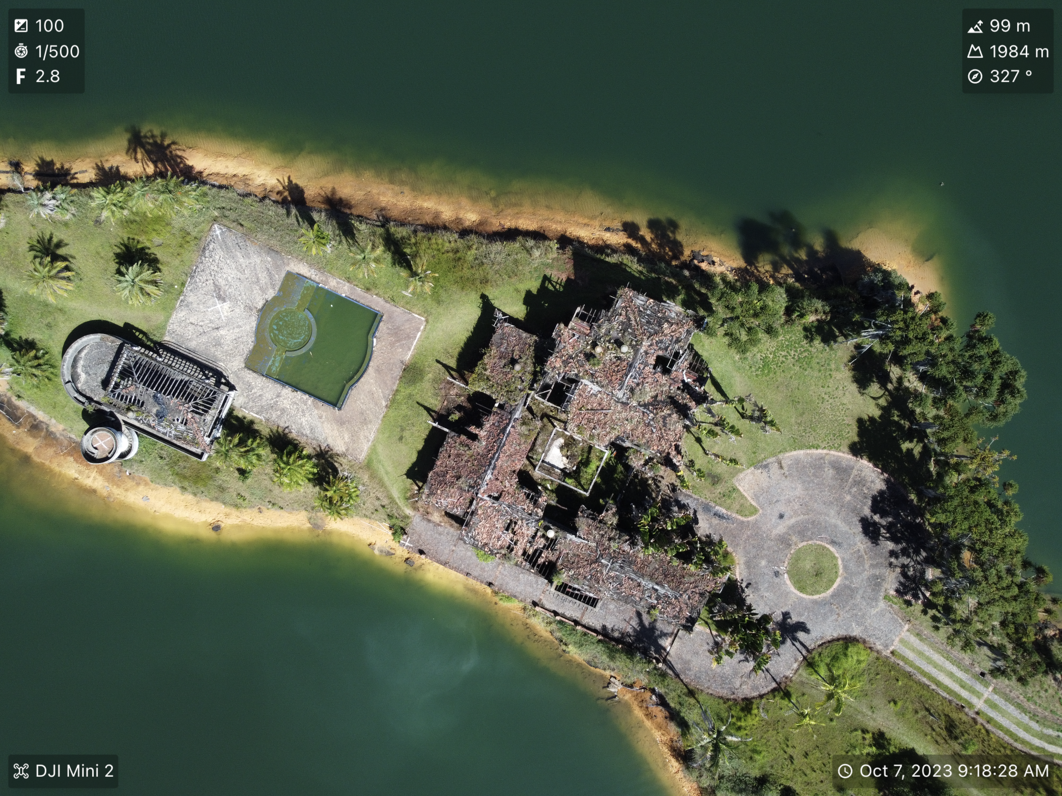
Designed for DJI drones, our platform lets you view video SRT data, analyze EXIF, and access dji drone view metadata effortlessly. Upload your videos and photos to dive deep into telemetry and geotagging insights.
Elevate Your Drone Flying Experience
With Our Tools
Metadata & EXIF Analysis
Easily access and analyze EXIF data, dji drone view metadata, and view video SRT data right on your photos and videos. Perfect for getting a detailed look into your drone's performance and the conditions during each flight.
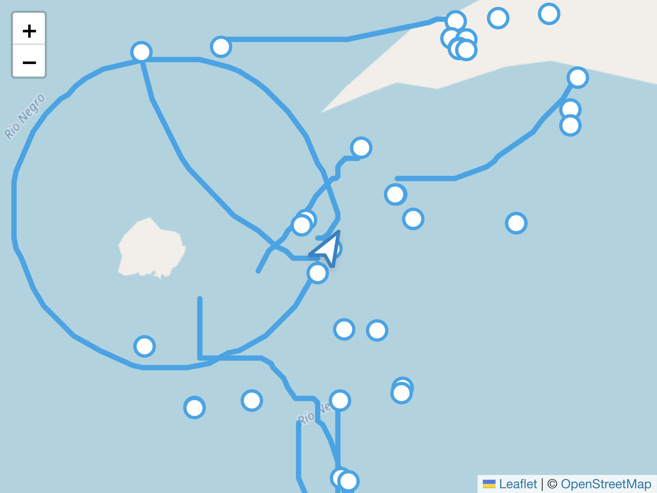
Geotag & Telemetry Tracking
Utilize advanced geotag drone video capabilities and dive into telemetry data to see your flight path on a map. Discover exactly where you captured your stunning photos and videos, enhancing your understanding and storytelling.
IMU & GPS Insights
Retrieve information about the IMU and the GPS of your video directly in your browser. This quick, privacy-focused analysis offers a comprehensive look into your drone's journey without the need for external uploads.
See How DroneJourney Enhances Your Media
Uncover Metadata Insights
Dive deep into your drone media to analyze EXIF data, view video SRT data, and unlock the secrets behind each shot. Understand how to analyze drone media with tools designed to highlight crucial information like telemetry and geotagging.
Explore Geographical Context
Enhance your drone videos with our geotag drone video feature. Navigate through maps that reveal the precise journey and locations, bringing a whole new dimension to your aerial adventures.